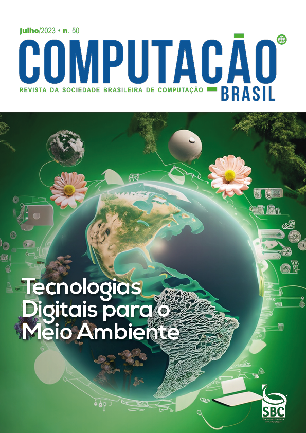
Tecnologia de Observação da Terra por Satélite Para o Monitoramento dos Biomas Brasileiros
DOI:
https://doi.org/10.5753/compbr.2023.50.3912Keywords:
Imagens de Sensoriamento Remoto, Uso e Cobertura da Terra, INPEAbstract
A tecnologia de observação da Terra por satélites desempenha um papel-chave no acompanhamento das metas e indicadores dos Objetivos do Desenvolvimento Sustentável (ODS), das Nações Unidas, na medida em que fornecem informações precisas sobre o estado do planeta. Em particular, a disponibilidade de mega volumes de imagens de sensoriamento remoto, com diferentes características, tem sido explorada para a produção de mapeamentos de cobertura e uso da terra. Esse trabalho descreve iniciativas em curso no Instituto Nacional de Pesquisas Espaciais sobre esse tema.
Downloads
Referências
FERREIRA, K. R. et al. Earth Observation Data Cubes for Brazil: Requirements, Methodology and Products. Remote Sensing, v. 12, n. 24, p. 4033, 9 dez. 2020.
ALMEIDA, C. A. et al. Metodologia para Monitoramento da Floresta usada nos projetos Prodes e Deter. São José dos Campos: Inpe, 2021. 27p. Disponível em: [link].
TALUKDAR, S. et al. Land-Use Land-Cover Classification by Machine Learning Classifiers for Satellite Observations—A Review. Remote Sensing, v. 12, n. 7, p. 1135, 2 abr. 2020.
DOBLAS, J. et al. DETER-R: An Operational Near-Real Time Tropical Forest Disturbance Warning System Based on Sentinel-1 Time Series Analysis. Remote Sensing, v. 14, n. 15, p. 3658, 30 jul. 2022.
[link]
SIMÕES, R., et al. Satellite image time series analysis for big earth observation data. Remote Sensing v.13, n. 13, p. 2428, 2021.
Downloads
Published
Como Citar
Issue
Section
Licença

Este trabalho está licenciado sob uma licença Creative Commons Attribution-NonCommercial 4.0 International License.


